The critical role of maps APIs in modern product experiences
Maps APIs power more than directions. They support critical product features like address entry, delivery routing, customer search, and real-time tracking. But not all maps APIs are built the same.
Radar's Maps Platform is a modern alternative to legacy providers like Google Maps or Mapbox. It's developer-friendly, cost-effective, and built for real-world use cases at scale. Product and engineering teams are switching to Radar for better performance, lower costs, and an all-in-one location stack.
Here's how.
Address validation and autocomplete: better data, faster checkouts
Messy or inaccurate address entry leads to failed deliveries, increased support volume, and lost revenue. Radar's address validation and autocomplete APIs reduce these risks by capturing clean, standardized addresses in real time.
With Radar, you can:
- Autocomplete addresses with intelligent, location-aware predictions.
- Validate and standardize input instantly.
- Check deliverability before form submission.
Whether you're optimizing an e-commerce checkout or simplifying signup flows, clean address capture results in fewer errors, faster forms, and higher conversion.
How Bojangles improves checkout speed with Radar
Bojangles upgraded their store locator and address workflows using Radar's Maps Platform. The result: a 60% reduction in map spend and a faster, more seamless guest experience.
"From creating meaningful location experiences for our guests and our restaurants to saving almost 60 percent in cost, Radar Maps Platform is a game changer for the industry, and Radar has solidified their position as the premier all-in-one location platform."
Sergio Pérez, Senior Director of Omni-channel at Bojangles

Geocoding and reverse geocoding APIs: connect coordinates and context
Location-first apps often need to convert between addresses and geographic coordinates. Radar's geocoding API supports forward and reverse geocoding, delivering structured, reliable location data at scale.
With Radar, you can:
- Convert addresses to latitude and longitude for routing or search.
- Convert coordinates to place names, neighborhoods, or zip codes.
- Log accurate location data for analytics, compliance, or segmentation.
Radar's geocoding engine supports global coverage, high volume, and structured JSON output that fits your data model right away.
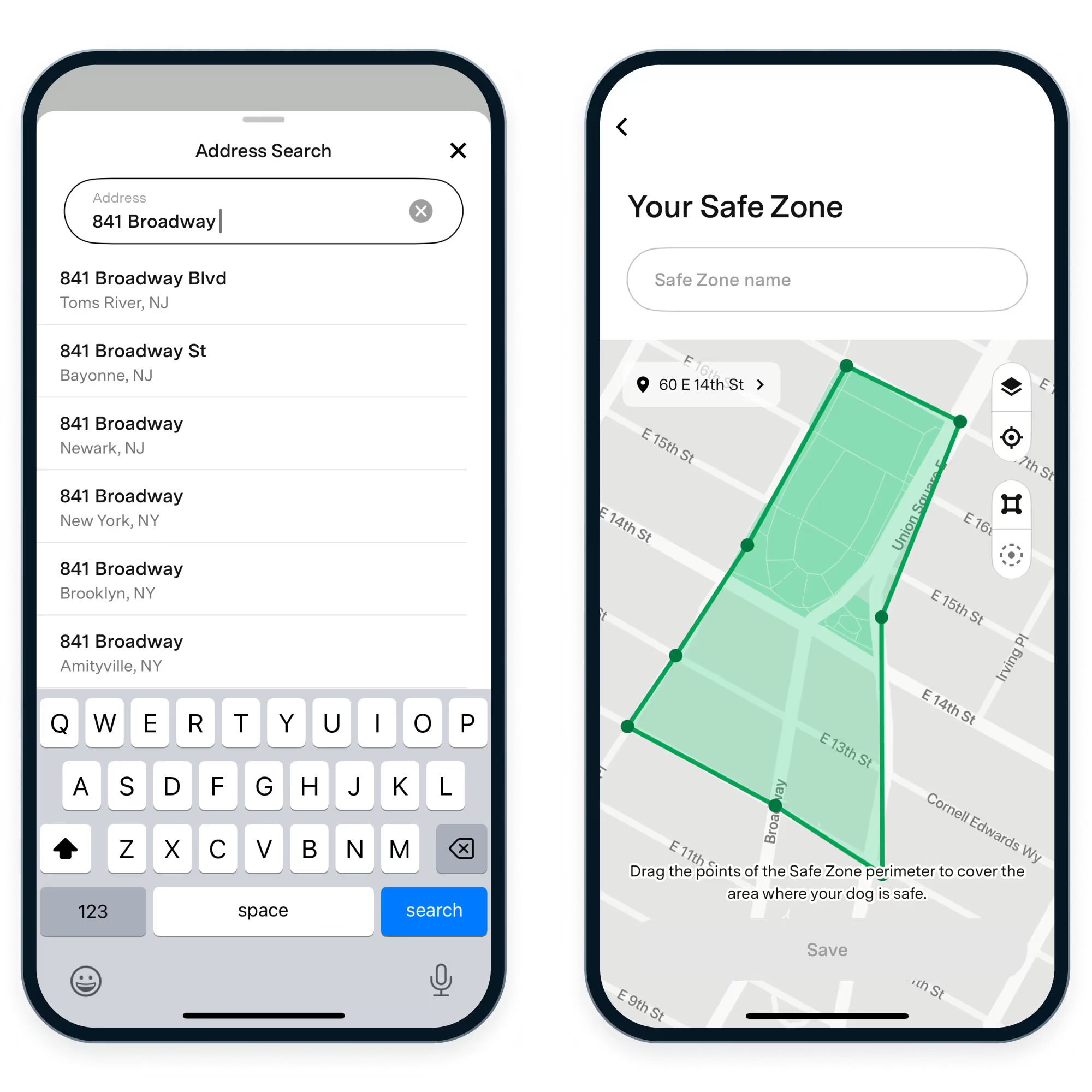
How Fi uses Radar geocoding to power real-time pet tracking
Fi, the connected dog collar brand, replaced two separate vendors with Radar to streamline their tech stack, cut costs, and improve accuracy.
"We replaced two vendors with one, made the product more accurate, and are saving hundreds of thousands of dollars a year. Radar gave us the tools and support we needed to scale real-time location tracking while cutting costs."
Jonathan Bensamoun, CEO of Fi
Routing APIs: optimize delivery and reduce costs
Efficient delivery is critical for logistics, retail, and on-demand services. Radar's routing APIs, route matching, distance calculations, and ETA estimates, help teams deliver faster and more reliably.
Radar lets you:
- Match GPS traces to actual road networks.
- Calculate real-time distance and ETAs for users and drivers.
- Pair routing with Radar's SDKs for tracking and delivery visibility.
There are no complex pricing tiers or surprises, and the APIs are built to integrate quickly with your systems.
How Milk Moovement uses routing APIs to improve logistics
Milk Moovement, a dairy logistics platform, turned to Radar to replace their homegrown location solution. By using Radar's Trips SDK and routing APIs, they achieved:
- 99% trip completion rate.
- 30% reduction in delivery costs.
- $200,000 in annual development time savings.
"Radar is the most accurate solution we've ever had. We're saving significant time and money, and freeing up internal resources to focus on building better software."
Chris O'Malley, CTO of Milk Moovement
.png)
Store locators and map embeds: fast, branded, and flexible
Your store locator isn't just functional, it's often your brand's first physical touchpoint. Radar helps you build high-performance store and location finder interfaces that match your brand and scale easily.
With Radar's map APIs, you get:
- Live and static maps with customizable styling.
- Fast load times across web and mobile.
- Filters and sorting based on real-time user proximity.
How top brands modernize store locators with Radar
Retailers and QSRs like Panera, Bojangles, Outback Steakhouse, Culver's, Buffalo Wild Wings, Arby's, and Sonic are switching to Radar to deliver faster, branded store locator experiences, and saving money in the process.
By moving away from clunky, embedded solutions, these teams have improved UX and reduced maps costs by up to 50%.
Radar's maps are styled to match each brand's look and feel. And with fast-loading tiles and real-time filtering, users can find nearby locations instantly.
Why product teams choose Radar over legacy maps APIs
Radar isn't just a maps API provider. It's a complete location platform that includes maps, geocoding, routing, geofencing, and address validation.
Product and engineering teams choose Radar for four key reasons:
- Developer-first design: Clean documentation, open-source SDKs, and fast, responsive support.
- Simple, fair pricing: Usage-based billing with no surprises, often 30–50% less expensive than legacy providers.
- Accuracy and scale: Radar processes over 1 billion API calls per day with industry-leading performance.
- Privacy and compliance: SOC 2 Type II certified, trusted by enterprise teams in regulated industries.
Radar helps you consolidate vendors, simplify your architecture, and reduce cost, without compromising on performance.
Ready to upgrade your maps API?
Radar's Maps Platform supports everything from store locators to checkout flows to real-time delivery tracking.
Explore our Maps Platform to learn more, or talk to our team to see how Radar can support your product.