How logistics and freight platforms use maps APIs to power real-time visibility and efficiency
In freight and logistics, accuracy and timing are everything. Whether you're managing shipments across a global supply chain or optimizing first- and last-mile delivery, your tech stack depends on reliable, real-time location infrastructure.
Radar's Maps Platform offers modern, developer-friendly alternatives to legacy solutions, with geocoding, address validation, routing APIs, and maps tools built to support high-volume, real-time logistics at scale.
Here's how leading logistics and freight platforms use Radar to cut costs, increase visibility, and streamline operations.
Clean address data = fewer failed deliveries
Bad address data can derail an entire shipment. Radar's address validation API and address autocomplete help ensure clean, standardized inputs at the point of entry, whether you're capturing warehouse addresses, delivery drop points, or shipper locations.
With Radar, logistics teams can:
- Autocomplete addresses quickly and accurately.
- Validate addresses in real time to prevent errors.
- Standardize address data for downstream routing, billing, or auditing.
This improves ETA accuracy, reduces delivery errors, and saves time for dispatchers and support teams.
Geocoding and reverse geocoding at freight scale
Moving between coordinates and place names is core to any logistics system. Radar's geocoding API and reverse geocoding API offer the accuracy and performance required for:
- Translating addresses into coordinates for routing and dispatch.
- Reverse-mapping GPS signals into addresses for visibility or auditing.
- Tagging event logs and location updates with place context.
Radar supports global coverage with fast response times, ideal for platforms processing thousands of shipments daily.
Smarter routing and trip planning
Radar's routing APIs let you estimate travel time, calculate distances, and match GPS traces to routes. These tools help TMS and 3PL platforms:
- Generate ETAs for customers and shippers.
- Match real-world movement to planned routes.
- Plan and optimize routes for drivers or carriers.
Combined with Radar's real-time tracking SDK, these tools provide full-trip visibility, from warehouse to final destination.
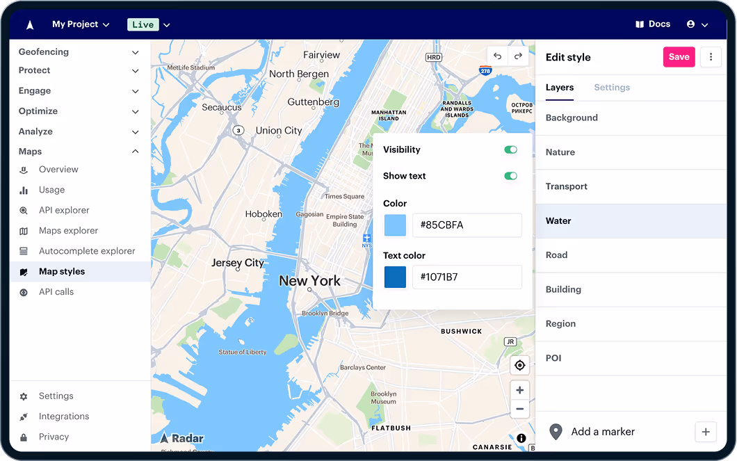
Accurate maps, lower costs
Maps power key logistics interfaces, from dispatch dashboards to tracking portals. Radar's maps APIs support dynamic and static maps with customizable styling, fast performance, and flexible embedding.
You can use Radar to:
- Power internal tools with branded, responsive maps.
- Build customer-facing portals for real-time tracking.
- Replace expensive legacy maps vendors and consolidate tools.
Some customers report saving 30 to 50 percent on their maps spend after switching to Radar.
Why logistics teams are switching to Radar
Radar is built for scale, precision, and developer speed, making it the ideal platform for logistics teams with high-volume, high-stakes use cases.
- 5-meter accuracy for arrival detection and geofence automation.
- Lightweight SDKs and fast APIs for easy integration.
- All-in-one platform for geofencing, maps, routing, and address tools.
- Transparent pricing that scales with your business.
Real results from logistics leaders
- Turvo uses Radar's routing and geocoding APIs, saving six figures annually after switching from a legacy provider.
- Fi uses Radar to deliver accurate, real-time location updates to users at a lower cost and higher accuracy than legacy providers.
- Milk Moovement replaced a custom-built solution with Radar to improve accuracy and visibility for dairy shipments.
Radar's Maps Platform gives freight and logistics platforms the infrastructure they need to move faster, optimize operations, and reduce costs, without relying on outdated tools.
Explore the Radar Maps docs or get in touch to see what your team can build next.