Bad location data doesn't just slow your operation down. It breaks it.
Radar Optimize gives operations and product teams accurate, real-time location signals to track workers and assets, automate workflows, and keep every pickup, delivery, and shift running on time.


The location layer your operations stack has been missing
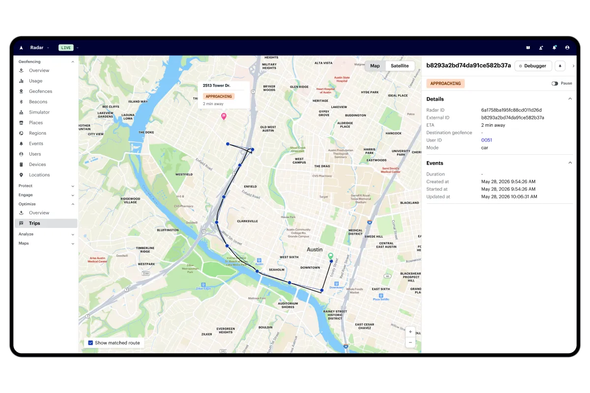
Track every trip, worker, and asset in real time
Track pickups, deliveries, workers, and vehicles with accurate location data and live ETAs that update continuously from start to finish.
Automate workflows with arrival signals and ETAs
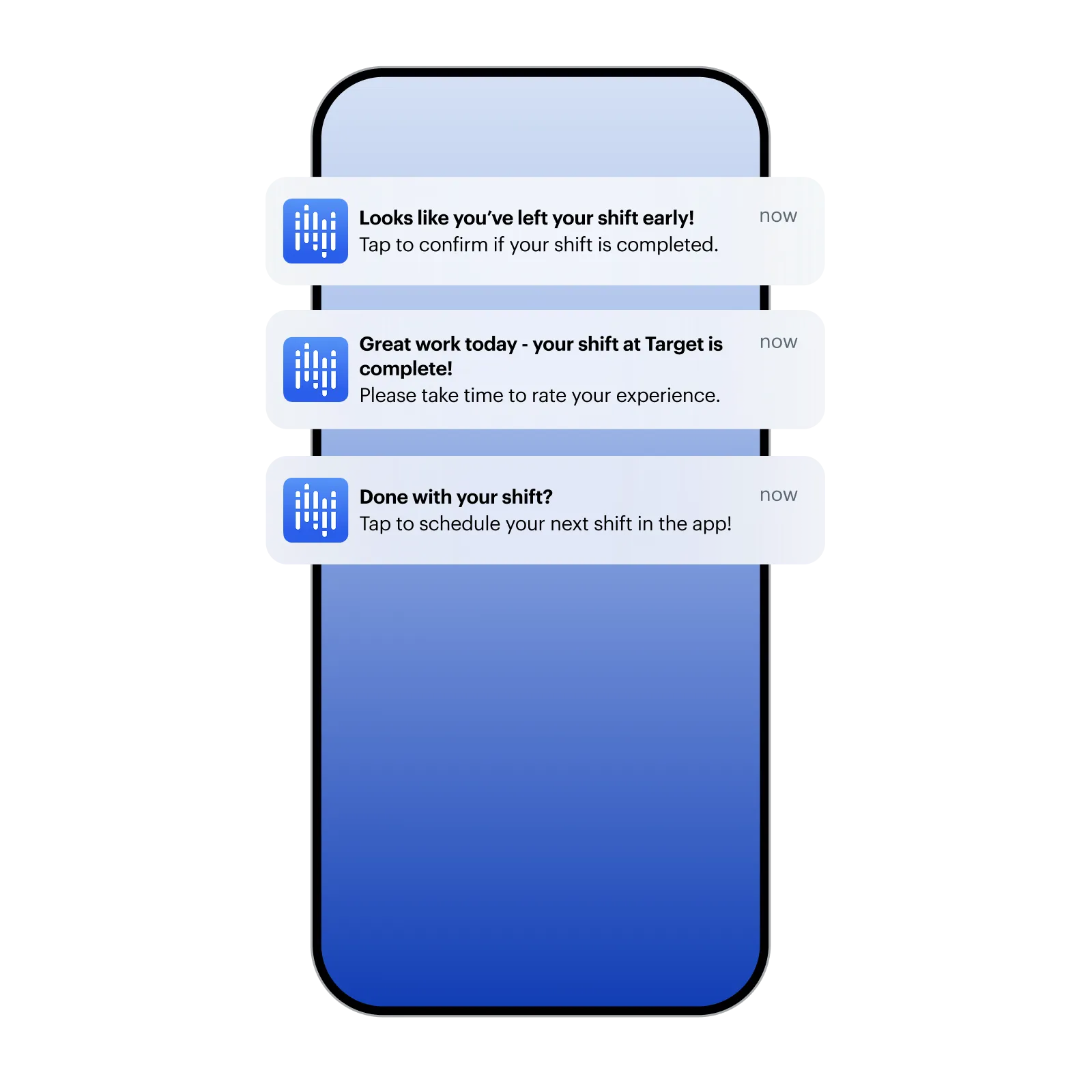
Trigger job starts, order prep, check-ins, and status updates automatically when workers or customers arrive at or depart from a location, eliminating manual steps.
Catch problems before your customers do
Get alerted to no-shows, delays, and unexpected route deviations the moment they happen, so your team can act before the customer ever notices.
Keep every worker, delivery, and operation running on time
Fire the right action at exactly the right moment
Detect when a customer, driver, or field worker arrives and automatically trigger order prep, staff alerts, or pickup instructions with no manual check-ins required.
Know where everything is, at every moment
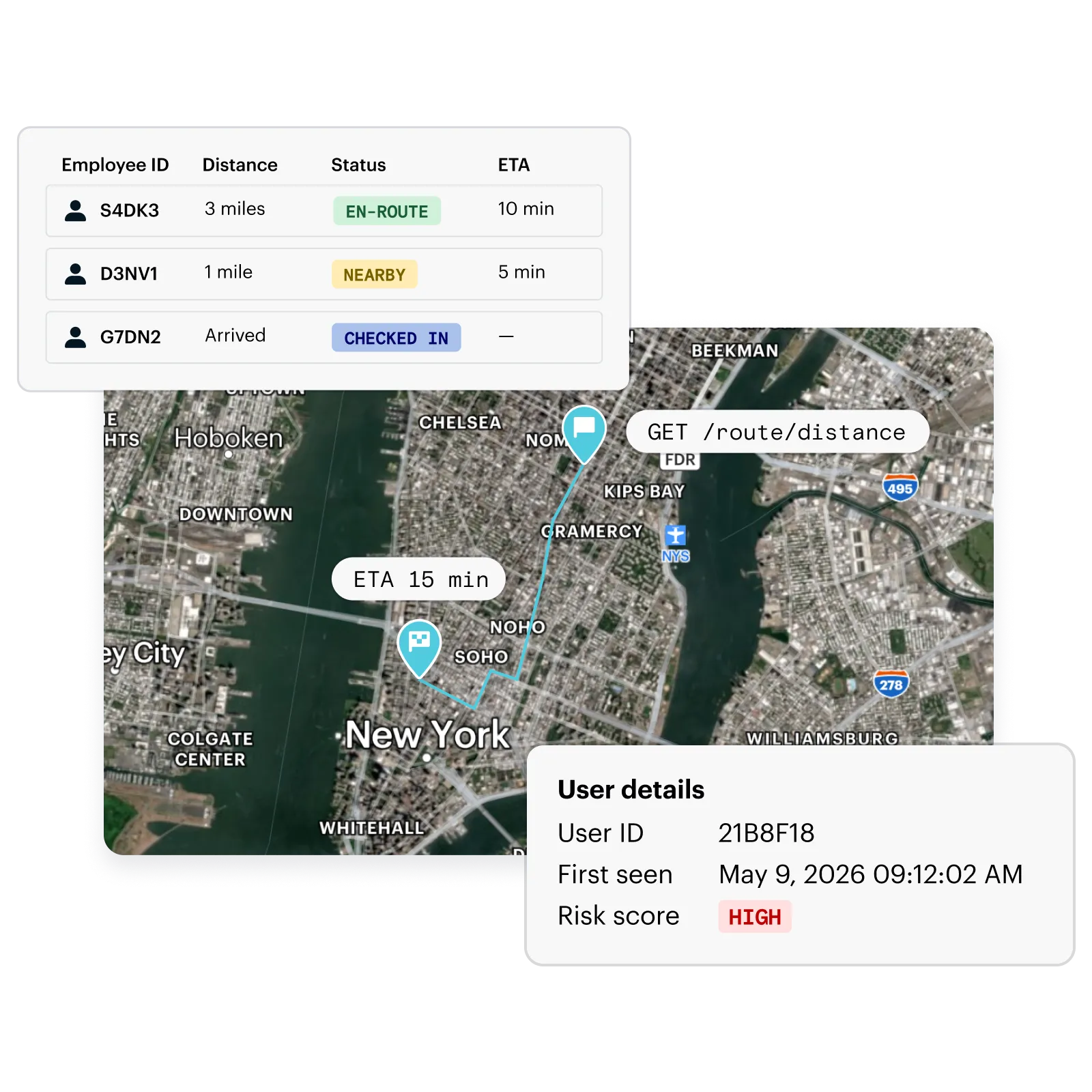
Track drivers, field workers, and deliveries in real time with live ETAs and geofence-triggered alerts, giving operations teams the visibility to manage by exception and customers accurate, up-to-the-minute updates.
Keep your workforce moving without the manual overhead
Automate clock-ins, status updates, and compliance workflows the moment workers arrive or depart, so your team spends less time on admin and more time in the field.
Accuracy and reliability you can build your operations on
fewer support inquiries from more accurate delivery ETAs
reduction in costs after migrating from in-house solution
Trusted by the world’s leading teams
”Radar is the most accurate solution we’ve ever had. By working with them, we’ve avoided the need to build and maintain a geolocation platform in-house, saving us significant time and money.”

Chris O’Malley
CTO

”When a truck is running late and you don’t know where the driver is, geolocation eliminates the need to make that phone call. You know exactly where the driver is at any point during the lifecycle of the shipment.”

Billy Sarracino
CEO
Frequently asked questions
Who is Radar Optimize for?

It's built for any team that needs to act on where someone is in relation to a destination, most commonly QSR and restaurant chains (order-ahead, drive-thru), retailers (curbside, BOPIS), logistics and delivery platforms, and workforce/field service apps.
What events does Radar Optimize fire during a trip?
Optimize fires three key events during a trip:
- Started: When a trip begins (e.g., customer checks out or taps "I'm on my way")
- Approaching: When the customer/driver is X minutes away (configurable threshold)
- Arrived: When they reach the destination geofence
These events can be delivered via webhooks to trigger downstream actions like order prep, staff notifications, or customer-facing status updates.
How does Radar Optimize keep trips alive if a user's device goes to sleep?
If a trip is active but hasn't received a location update in 3 minutes, Radar sends a silent push notification to the device to restart tracking, and continues every 3 minutes until an update is received.
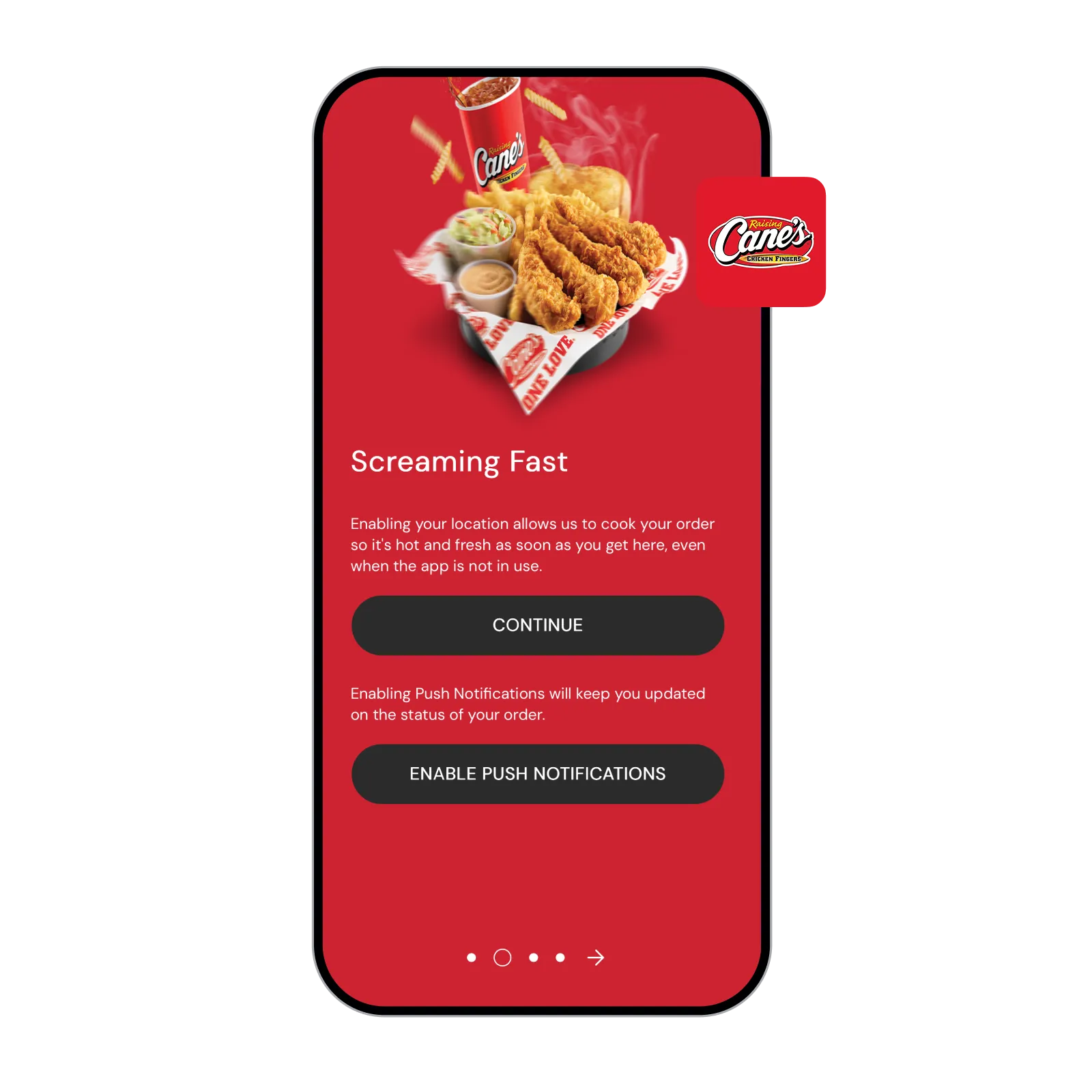
What QSR use cases does Radar Optimize support?
Can Radar Optimize be used for logistics and delivery, not just restaurants?
Yes. Optimize supports driver tracking, real-time ETAs, and arrival detection for delivery platforms, field service, and workforce management. It integrates via webhooks into dispatch systems and can also power customer-facing tracking experiences (e.g., "your driver is 10 minutes away").