Forward geocoding vs. reverse geocoding
Geocoding converts location descriptions like human-readable addresses into geographic coordinates (latitude and longitude values), enabling vital services like navigation and delivery optimization.
Forward geocoding
Forward geocoding translates addresses into coordinates, answering questions like "What are the coordinates for this restaurant?" It's the process of transforming a human-readable location description, such as a street address or place name, into geographic coordinates. Think of it as pinpointing a location on the Earth's surface.
How does forward geocoding work?
- Address parsing: The input address is broken into components (e.g., house number, street name, city, and postcode).
- Data matching: These components are matched against a database of geocoded addresses and corresponding coordinates.
- Interpolation: If an exact match isn't found, the system may estimate the location using nearby addresses and street network data.
Some services offer autocomplete suggestions to help users input addresses correctly, minimizing errors.
See an example of converting an address into coordinates below:
See Radar's forward geocoding API documentation for more details.
Use cases for forward geocoding
- Mapping and navigation: Displaying locations on maps and calculating routes.
- Location-based services: Enabling ride-hailing, food delivery, and store locators.
- Business analysis: Optimizing delivery routes and targeting location personalization.
- Emergency response: Locating incidents and dispatching services quickly.
Challenges of forward geocoding
- Address ambiguity: Similar or identical names can cause confusion.
- Data accuracy: Inaccurate or incomplete address data may lead to errors.
- Address format variations: Global differences in address formats require standardization.
Reverse geocoding
Reverse geocoding starts with geographic coordinates and provides a human-readable location description, such as a street address or point-of-interest (POI). This process answers, "What's here?" and often includes additional details like neighborhood, city, or postal code.
How does reverse geocoding work?
- Coordinate input: Latitude and longitude values initiate the process.
- Database search: These coordinates are compared against a geographic database.
- Nearest neighbor identification: The system identifies the closest relevant feature.
- Output generation: A human-readable location description is provided.
You can try out a reverse geocoding API here. Additionally, sign up for a free developer account and try out Radar's API explorer in the dashboard.
After you sign up, you can use your API key to make a reverse geocoding request:
curl "https://api.radar.io/v1/geocode/reverse?coordinates=40.7343,-73.9911&layers=address" \
  -H "Authorization: prj_live_pk_..."
And here's a sample API response:
{
  "meta": {
    "code": 200
  },
  "addresses": [
    {
      "latitude": 40.734288,
      "longitude": -73.991057,
      "geometry": {
        "type": "Point",
        "coordinates": [
          -73.991057,
          40.734288
        ]
      },
      "country": "United States",
      "countryCode": "US",
      "countryFlag": "🇺🇸",
      "county": "New York County",
      "distance": 4,
      "borough": "Manhattan",
      "city": "New York",
      "number": "841",
      "neighborhood": "Greenwich Village",
      "postalCode": "10003",
      "stateCode": "NY",
      "state": "New York",
      "street": "Broadway",
      "layer": "address",
      "formattedAddress": "841 Broadway, Manhattan, New York, NY 10003 USA",
      "addressLabel": "841 Broadway"
    }
  ]
}
Or, on iOS, in Swift:
Radar.reverseGeocode(
    location: location
) { (status: RadarStatus, addresses: [RadarAddress]?) in
    // do something with addresses
}
On Android, in Kotlin:
Radar.reverseGeocode(location) { status, addresses ->
    // do something with addresses
}
The response will include a structured address for the coordinates, including street address, city, postal code, and country.
Optionally, to return a specific type or granularity of address result you can specify layers, including one or more of place, address, postalCode, locality, county, state, country, coarse, and fine. Note that coarse includes all of postalCode, locality, county, state, and country, whereas fine includes address and place.
See Radar's reverse geocoding API documentation for more details.
Use cases for reverse geocoding
- Location-aware apps: Displaying user location or nearby POIs.
- Asset tracking: Determining the location of vehicles or equipment.
- Data analysis: Understanding geographic patterns and trends.
- Emergency services: Locating the origin of 911 calls.
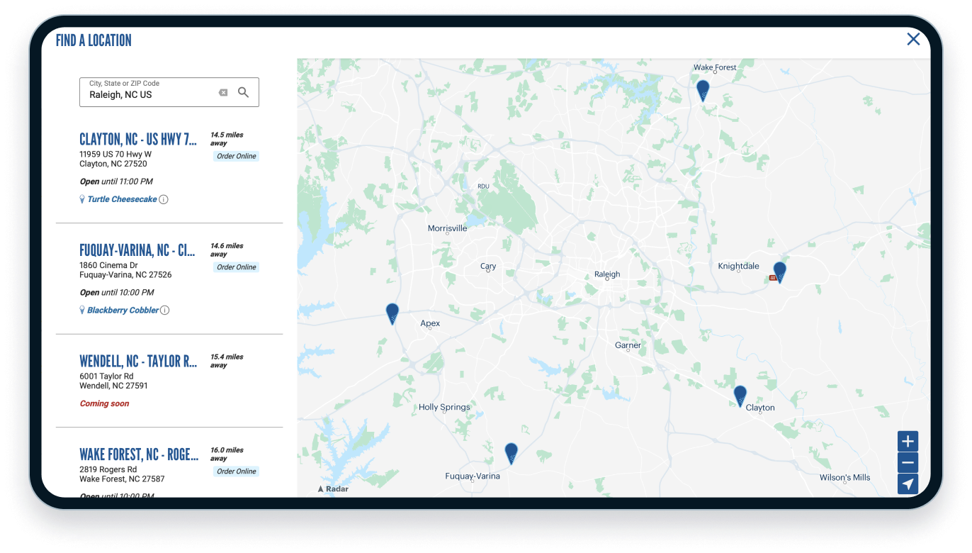
See how brands like Bojangles and Culver's use geocoding for their store locators:
.png)
Challenges of reverse geocoding
- Data density: Accuracy depends on data availability, especially in remote areas.
- Ambiguity: A single point may fall within multiple areas or POIs.
- Privacy concerns: Identifying individuals based on location requires careful handling.
Comparing forward and reverse geocoding
- Forward geocoding: Ideal for finding coordinates from an address or name.
- Reverse geocoding: Best for identifying a location description from coordinates.
Geocoding services and APIs
When selecting a geocoding service, there are many solutions available. Cost, usage rates, ease of implementation, and accuracy are key factors to consider when vetting vendors.
Radar
Radar provides a developer-friendly platform with real-time location context, geofencing, location tracking, and place search. Radar offers cost-effective geocoding with 100,000 free API calls per month and competitive pricing.
Google Maps Platform
Known for global coverage, accuracy, and frequent updates, Google Maps Platform offers geocoding and additional tools like directions and place search. Usage-based pricing applies.
HERE Technologies
HERE specializes in location data, offering global coverage and features like address validation and batch geocoding.
OpenCage Data
OpenCage emphasizes privacy and open data with straightforward APIs and flexible pricing.
Mapbox
Mapbox integrates geocoding with custom maps and data visualization for unique experiences.
Azure Maps
Azure Mapsintegrates geocoding with Microsoft Azure services, supporting global coverage and multiple languages.
Key benefits of geocoding APIs
- Ease of use: Simplify geocoding integration.
- Scalability: Handle large volumes of requests efficiently.
- Cost-effectiveness: Reduce infrastructure costs.
- Access to high-quality data: Leverage provider datasets.
- Continuous updates: Benefit from ongoing improvements.
Why choose Radar?
Radar offers a seamless, developer-friendly geocoding solution at a lower cost than competitors like Google Maps or Mapbox. Its commitment to privacy and real-time insights makes it ideal for building dynamic, location-aware applications.
- Integration: Developer-friendly SDKs and clear documentation.
- Accuracy: Comprehensive data coverage.
- Affordability: Transparent pricing with 100,000 free calls monthly.
- Privacy-focused: Compliance with best practices for data security.
Book a demo to see how Radar can support your geocoding needs.