Geofencing iOS: Understanding the limitations
As a developer, integrating geofencing functionalities into your iOS applications is a crucial way to create immersive, location-aware experiences. Apple's Core Location framework is the typical choice for many developers, offering a suite of robust location-based functionalities, including geofencing.
However, while Core Location and CLRegion – the tools for defining geographic regions – are undeniably powerful, they come with several limitations that can pose challenges. For instance, Core Location prevents a single application from monitoring more than 20 regions at once.
This blog post aims to shed light on these challenges and explore alternative solutions.
Introduction to iOS geofencing
iOS geofencing enables apps to define geographical boundaries and trigger actions or alerts when a device enters or exits those boundaries. This feature is made possible by the Core Location framework, which provides location-based services to iOS apps.
By leveraging geofencing, developers can create more interactive and context-aware applications, enhancing the user experience by delivering relevant content and notifications based on the user's location.
What is the Core Location Framework in iOS?
The Core Location framework is a fundamental component of iOS app development that enables applications to access and use location data, including GPS coordinates, altitude, course, and speed.
Developers can use this information to tailor the app's behavior based on a user's real location. The framework is a crucial tool for building location-aware apps that provide users with a more personalized and engaging experience.
By integrating Core Location, developers can create features such as turn-by-turn navigation, location-based reminders, and geofencing, making their apps more useful and relevant to users.
How does iOS geofencing work?
iOS geofencing relies on the device's GPS, Wi-Fi, cellular, and Bluetooth technologies to determine the user's precise location. When a geofence is created within an app, the app registers the desired geographic coordinates and a geographical region of interest.
As the user moves around with their iOS device, the Core Location framework continuously tracks the device's location and compares it against the defined geofences. When the user enters or exits a geofenced region, the app receives a notification, which can trigger various actions or alerts.
This integration of location tracking and geofencing allows developers to create dynamic and responsive applications that react to the user's movements in real-time.
Setting up geofencing in an iOS app
To set up geofencing in an iOS app, developers need to follow a series of steps that involve requesting location permission, setting up the Core Location framework, and defining the geographical regions to be monitored. Properly configuring these elements ensures that the app can effectively monitor user location and trigger geofence events as intended.
Request location permission
To use geofencing, an app needs to request location permission from the user. The app can request permission to access the user's location in the foreground or background. If the app wants to receive location updates in the background, it needs to request “Always Allow” permission.
Developers can request location permission using the requestAuthorization(options:completionHandler:) method of the CLLocationManager class. It's essential to provide a clear and concise explanation of why the app needs access to the user's location, as this will be displayed to the user when they are prompted to grant permission.
By clearly communicating the benefits and necessity of location access, developers can increase the likelihood of users granting the required permissions, ensuring the app can function as intended.
Limitations of Core Location and CLRegion
Geofence limitations and events
A significant limitation of iOS geofencing with Core Location is the number of active geofences you can monitor concurrently. Currently, each iOS app can monitor up to 20 geofences at a time. This might not be sufficient for applications that require comprehensive coverage over a large area or require many small, specific geofenced regions.
Additionally, specific hardware capabilities impact the effectiveness of geofencing, as certain hardware features are necessary for effectively monitoring geographical regions, and the system imposes limitations regarding simultaneous region monitoring.
Accuracy and latency
Another challenge when working with iOS geofencing is accuracy and latency. iOS geofencing can work with significant location changes, particularly in offline scenarios, but it has limitations for applications requiring real-time accuracy. Although Core Location typically provides accurate results, the precision might sometimes be off, especially in urban environments with tall buildings or places with weak GPS signals.
Furthermore, there can be latency in triggering geofence events. For instance, the “exit” event might not be instantly triggered when a user leaves a geofence. This delay could impact the user experience, especially for time-sensitive applications.
Geofence shape
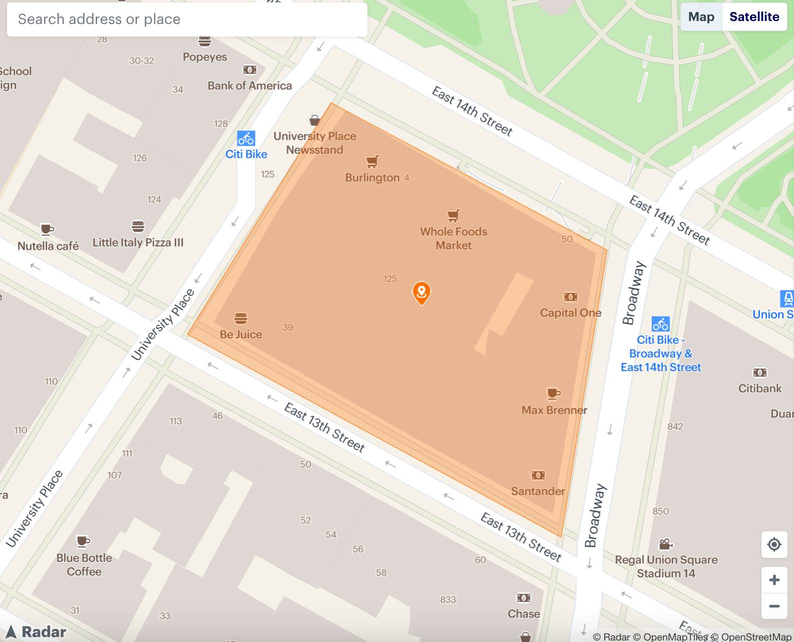
CLRegion objects allow you to define a geofence as a circular region only, centered around a specific latitude and longitude. This circular geofencing has its limitations, as it may not align perfectly with the actual geographical area you wish to monitor, especially when dealing with irregularly shaped areas. For such cases, polygon geofencing would be a more accurate solution. However, there are different use cases for each type of geofence:
Circle geofences use a circular boundary to define the area, with the radius adjustable to suit the desired coverage. It's ideal for broad, general targeting, such as sending promotions to customers within a certain distance from a store.

Polygon geofences employ a polygonal boundary, allowing for more precise targeting by outlining specific shapes and areas. This approach is particularly useful for businesses located in buildings with large or irregular footprints or those wanting to target specific zones within a larger area.
Isochrone geofences allow you to create geofences based on travel distance (e.g., “5 minutes away driving” or “10 minutes away walking”) instead of as-the-crow-flies distance (e.g., “one-mile radius”). This type uses a grid system based on latitude and longitude coordinates to create a dynamic boundary.

Handling location updates and changes
Handling location updates in the background can be challenging with Core Location. Proper handling of location permissions is crucial in enabling location services and background updates, ensuring that apps can function effectively and respond to users' needs.
iOS's battery optimization strategies often limit the ability of apps to run or access location services in the background. Consequently, developers need to be cautious when setting up their apps to avoid excessive battery usage and ensure a smooth user experience.
No built-in analytics
Core Location and CLRegion provide the fundamental tools for implementing geofencing, but they do not offer built-in analytics to understand user visit behavior, dwell times, or conversion events. For businesses and developers looking to gain insights from their location-based services, this limitation is a significant drawback.
Radar: A simpler and more powerful alternative
While Core Location and CLRegion are valuable tools for iOS geofencing, the limitations can be challenging for developers looking to create rich, location-aware applications. This is where Radar comes in.
Radar simplifies region monitoring by allowing the creation and configuration of circular regions, handling geofencing events, and managing potential errors. Radar's Geofencing Platform offers a simpler and more powerful alternative to iOS geofencing with several key advantages. Radar also allows developers to simulate location changes using GPX files to validate the application's functionality during development.
No limit on active geofences
Unlike Core Location, Radar does not limit the number of active geofences you can monitor at a time. This allows your application to have extensive coverage, monitoring millions of geofences simultaneously.
Radar's unlimited geofences can significantly enhance the scalability of your location-based services. Additionally, it is important to recreate a monitor with the same identifier when an iOS app relaunches after being launched by system events for continuous monitoring.
Higher accuracy and lower latency
Radar's Geofencing Platform offers best-in-class accuracy, down to 5 meters, providing more precise geofence triggering. This high level of accuracy, coupled with lower latency, ensures that your users receive location-specific information and services promptly and precisely.
Polygon geofences
Radar goes beyond the circular geofencing limitation of CLRegion by offering polygon geofences. You can define geofences in any shape, aligning perfectly with the geographic region of interest. This functionality is especially crucial for businesses that operate within distinct, non-circular geographic areas.
Advanced features
Radar's Geofencing Platform includes advanced features like a powerful Dashboard for developing and testing location features, integrations with other services for turnkey solutions, and analytics for understanding visit behavior and other location-based metrics. These features make it easier for developers to build, test, and analyze their location-based services.
Cross-platform support
Radar offers similar SDKs and APIs across iOS and Android, as well as libraries for web, React Native, Capacitor, Cordova, Flutter, Xamarin, and more.
Developer-friendly
Radar offers developer-friendly documentation, APIs, and open-source SDKs, making the integration process a breeze. With just a few lines of code, developers can add powerful location features to their applications.
Unlock more with Radar
While iOS's Core Location and CLRegion offer fundamental tools for implementing geofencing, they come with several limitations that can be challenging for developers. Radar offers a simpler, more powerful, and scalable alternative, empowering developers to build comprehensive, location-aware applications.
To learn more, check out our docs, get started for free, or request a demo.