What is a points-of-interest (POI) API? Building context-aware, location-based apps
Location-based apps are everywhere. Whether you're building a store locator, a delivery tracking experience, or a real-time location-based marketing, understanding what's nearby matters. That's where a points-of-interest (POI) API comes in.
POI APIs provide the context layer for modern location-based apps, enabling personalized, relevant, and timely experiences. This guide breaks down what a POI API is, how it works, and how product teams use it to power context-aware apps.
What is a POI (points-of-interest) API?
In geospatial data, a point-of-interest (POI) is any specific location that might be useful or relevant to a user. This could be a coffee shop, a stadium entrance, a parking lot, or even a public restroom.
A POI API is an interface that lets developers query and retrieve this type of data. It typically includes:
- Coordinates (latitude and longitude).
- Metadata like name, address, contact info, and hours.
- Categories or tags (e.g., "restaurant", "bank", "EV charging station").
Places may have one or more categories. Radar supports hundreds of categories, organized in a hierarchy. View the full list of categories.
You can listen for place events with specific categories. For example, to do something if a user is at an airport, on iOS:
Radar.trackOnce { (status, location, events, user) in
    if let place = user?.place,
       place.hasCategory("airport") {
        // do something
    }
}
Common use cases
- Retail: Find competitors or complementary businesses nearby.
- Travel: Suggest landmarks or places to visit.
- Logistics: Route drivers through high-traffic delivery areas.
- Marketing: Trigger location-based campaigns when users enter a POI.
How POI APIs work: data sources, structures, and standards
POI data typically comes from open-source databases, government datasets, or commercial aggregators. High-quality POI APIs aggregate, clean, and enrich this data before exposing it through developer-friendly endpoints.
Data formats
Most POI APIs return data in standard formats like:
- GeoJSON: A lightweight format for encoding geographic data structures.
- WGS84: The standard coordinate reference system used by GPS.
Industry standards
POI APIs often align with broader location data API standards, ensuring compatibility with mapping libraries, analytics tools, and geofencing SDKs.
POI data enrichment
Enrichment adds context to raw location data. For example:
- Enriching a lat/lng with a business name and category.
- Enhancing POIs with popularity scores, hours, or ratings.
This is critical for real-time recommendations and personalization.
Related APIs
It's important to understand how POI APIs differ from adjacent location APIs:
- POI APIs: Return data about nearby places.
- Geocoding APIs: Convert between addresses and coordinates.
- Location data APIs: Track user location, often in real time.
Some platforms, like Radar, unify these capabilities into a single developer-friendly stack.
POI APIs vs. location data APIs (and when to use each)
While POI APIs focus on places, location data APIs center on users. Here’s how to think about them:
If your app requires knowing what's near a user, use a POI API. If you care more about where a user is going or has been, use location data APIs.
Core features to expect in a POI data API
When evaluating a POI API, look for these features:
- Categories and filters: Ability to filter by business type or tags.
- Proximity and radius search: Search within a radius around a point.
- Along-the-route search: Identify POIs along a route for better planning.
- Time-relevant or context-aware attributes: Filter by hours, popularity, or custom conditions.
- Reliability and freshness: Up-to-date data ensures trust and accuracy.
- Commercial licensing: Some open-source options restrict commercial use.
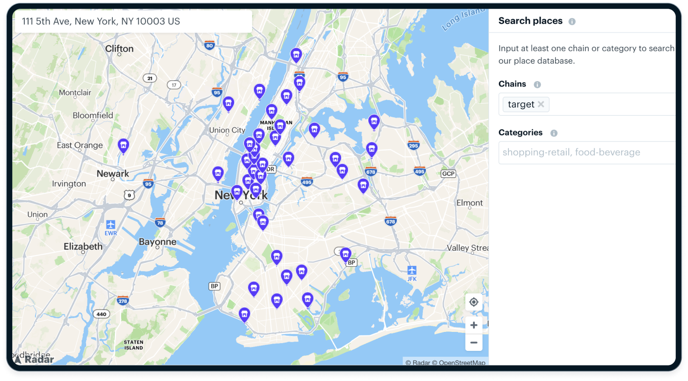
Radar's Maps Platform, for example, includes a Places Search API that supports category filters, radius and bounding box queries, and is built for real-time use cases.
Building location-based apps with POI APIs
Whether you're building for mobile or web, POI APIs let you add context-aware features that respond to a user's environment.
Common patterns
- Mobile-first apps: Use device location to find nearby POIs in real time.
- Backend systems: Enrich location data with POI categories for analytics.
- Hybrid models: Use serverless functions to trigger location-aware logic.
Context-aware logic
Adding real context requires more than just a lat/lng:
- User location: Track real-time location with a geofencing SDK.
- Environmental signals: Consider time of day, weather, or proximity.
- Personalization: Filter POIs based on known user preferences.
Radar supports this with context-aware triggers and millions of POIs pre-integrated into our platform.
Step-by-step example: using a POI API (with code)
Here's an example of the context provided.
{
  "place": {
    "name": "Starbucks",
    "chain": {
      "name": "Starbucks",
      "slug": "starbucks",
      "externalId": "123",
      "metadata": {
        "customFlag": true
      }
    },
    "categories": ["food-beverage", "coffee-shop"],
    "location": {
      "type": "Point",
      "coordinates": [-73.977797, 40.783826]
    }
  }
}
Places also provides the following events:
user.entered_placeuser.exited_place
You can receive events client-side via the SDK or server-side via event integrations, including webhooks.
Real use cases for POI APIs in context-aware apps
POI APIs power experiences across industries:
- Navigation and routing: Suggest stops, gas stations, or EV chargers along the way.
- Local discovery: Recommend restaurants, parks, or museums.
- Retail analytics: Analyze foot traffic or nearby competitors.
- Travel planning: Power itineraries and nearby recommendations.
- Location-based marketing: Trigger messaging based on nearby places.
Radar powers many of these scenarios via our Maps and Geofencing platforms.
Choosing the right POI API provider
Not all POI APIs are created equal. Evaluate based on:
- Accuracy: Does the POI data align with the real world?
- Refresh rate: How often is data updated?
- Coverage: Is the data global, regional, or city-specific?
- Cost: What's the pricing model? Are commercial rights included?
- Category depth. How specific can filters get?
Best practices when integrating POI data
To build scalable apps with POI data, keep these best practices in mind:
- Use caching and handle rate limits.
- Normalize data formats. Especially if merging sources.
- Handle duplicates. Many POI datasets include overlapping entries.
- Respect user privacy. Especially when combining POI data with real-time location.
Why POI APIs are essential for modern location-driven apps
POI APIs give your app context. They help users discover what's nearby, enable personalized experiences, and power smarter location decisions.
Whether you're building a delivery experience, a retail app, or a travel guide, combining POI APIs with real-time location and context logic is the key to modern, intelligent apps.
If you're exploring POI data or location-based features, Radar's Maps and Geofencing platforms offer scalable, developer-friendly solutions. Get started or talk to our team to learn more.
FAQ: common questions about POI and location data APIs
What's the difference between a POI API and a Places API?
They're often used interchangeably, but POI APIs focus on place metadata, while Places APIs may include broader search capabilities.
What data formats do POI APIs return?
Typically GeoJSON or JSON with WGS84 coordinates.
How accurate is POI data?
Depends on the provider. Look for APIs with regular updates and commercial-grade datasets.
Can POI APIs be used for real-time recommendations?
Yes. Especially when combined with real-time user location and context logic.
What industries use POI data the most?
Retail, travel, logistics, restaurants, gaming, and more.