Hundreds of companies have switched from Google to Radar. They’re saving millions.
Radar Maps is a full-stack maps platform with geocoding, search, routing, and base maps, built for the reliability and scale modern teams demand.









The Radar way
Every maps API, plus geofencing, trip tracking, and location intelligence. Simple, transparent pricing at a fraction of the cost, with human support at every step.
.png)
Full-stack location infrastructure
Every maps API in one platform
Geocoding, autocomplete, address validation, search, routing, and more in one place. No vendor stitching required.
Global coverage out of the box
Radar combines open and commercial datasets for maximum coverage across every country, for enterprise use cases.
Go live in a single sprint
Open-source SDKs, flexible APIs, and developer-friendly documentation mean most teams are up and running in a single sprint.
Every maps API your team needs
Turn addresses into coordinates. And back again.
Forward geocoding, reverse geocoding, and IP geocoding APIs with global coverage and the right to store, reuse, and export results freely.
Explore geocoding →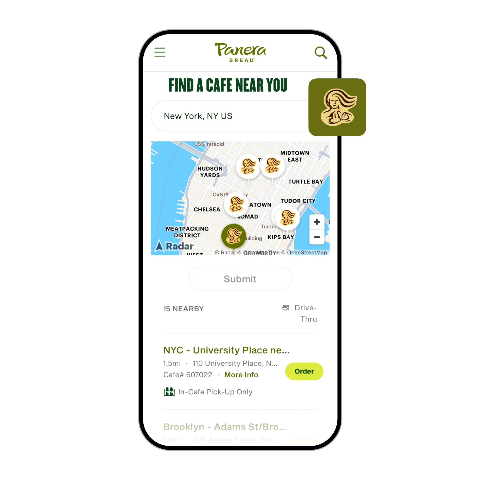
Help users find the right address on the first try
Power checkout flows, onboarding forms, and store locators with fast, accurate address autocomplete that reduces drop-off and eliminates address entry errors at the source.
Explore address autocomplete →
Clean, standardized addresses before they enter your system
Validate and standardize addresses at the point of entry, so every downstream system from CRM to fulfillment works with accurate, consistent data.
Explore address validation →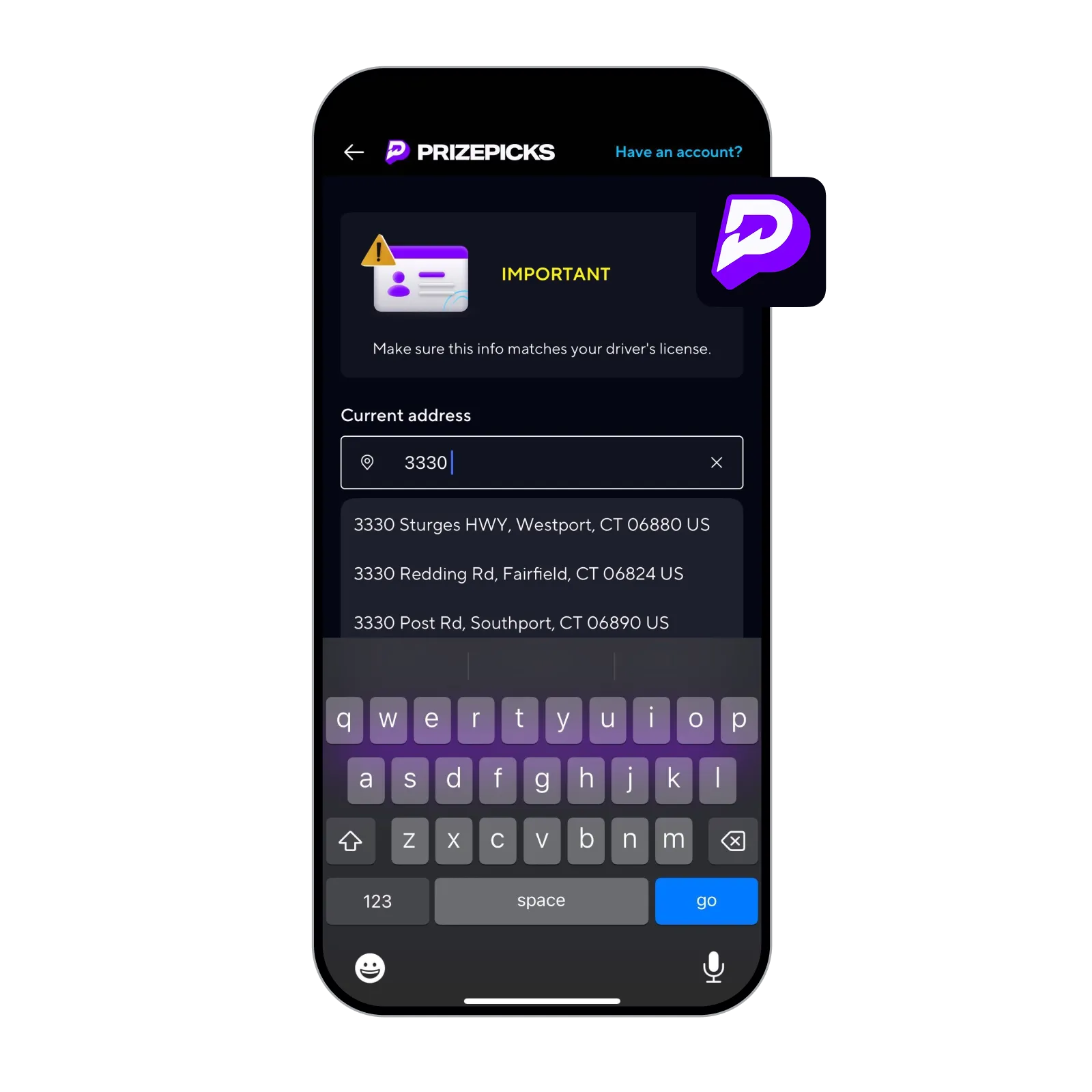
Distance, directions, and route optimization at scale
Calculate travel distances and times, optimize multi-stop routes, and generate turn-by-turn directions with routing APIs built for high-volume operational use cases.
Explore routing →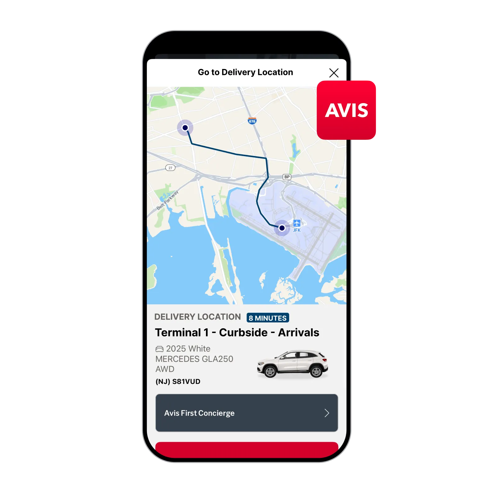
Beautiful, customizable maps your brand can own
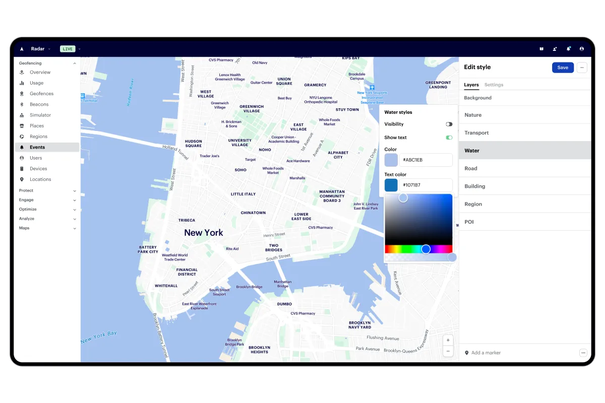
Deploy dynamic and static maps with classic, dark, light, and satellite themes, fully customizable to match your product or website.
Explore maps →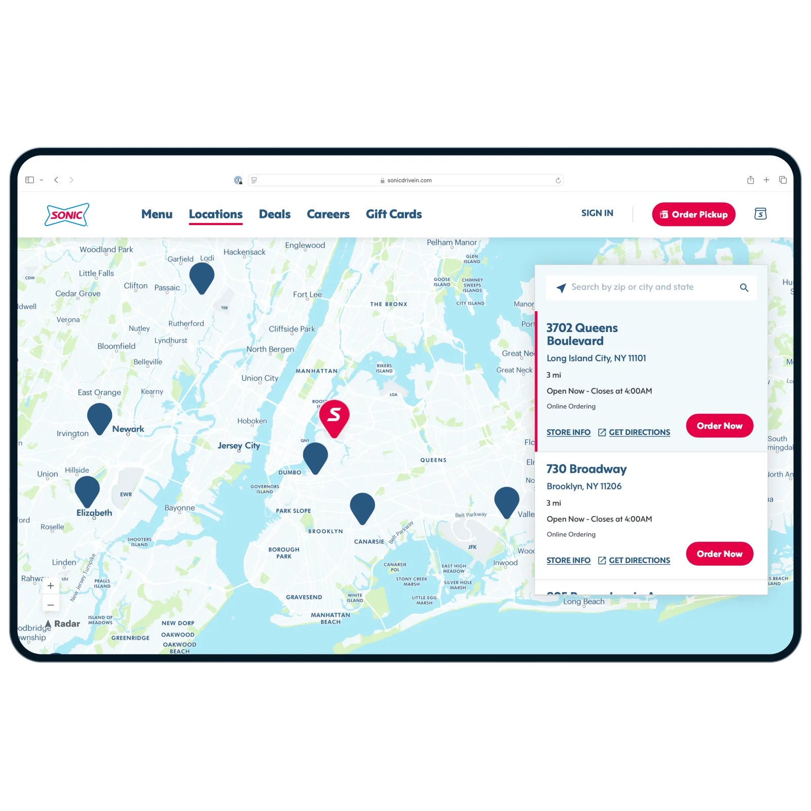
Built to handle the scale of the world’s most demanding apps
installed devices
installed apps
API requests per day
Trusted by the world’s leading teams





Why teams are making the switch


The Radar difference

The most accurate, real-time location data
Radar’s SDKs and APIs collect location, device, and sensor data across GPS, Wi-Fi, IP, and more, giving you the most accurate, real-time signals in the market.

Developer-friendly by design
Modern SDKs and APIs built for fast integration. Connect to your existing stack, integrate with just a few lines of code, and ship in a single sprint.

Enterprise-grade scale and support
1 billion API calls per day and installed on hundreds of millions of devices. SOC 2 and GDPR compliant, backed by a team of location experts who support you at every step.

Cost-effective, all-in-one
Proprietary infrastructure and economies of scale make Radar more cost-effective than legacy solutions or building in-house, so you get more location for less.
Frequently asked questions
How much does the Google Maps API cost?

Google bills separately for each product, with map loads, geocoding, routing, and Places each metered on its own per-request rate. A high-traffic app or website can run into tens of thousands of dollars a month. Radar prices by volume tier, which makes the monthly cost predictable before you ship.
Is the Google Maps API free?
Google Maps Platform gives you a recurring monthly credit, and usage above that credit is billed per request. Once an app passes the free allotment, costs climb with every map load, geocode, and route call. Radar offers a more affordable alternative to Google Maps Platform, with pricing based on volume tiers so your bill doesn’t move with traffic spikes.
What does Radar do that Google Maps does not?
Radar adds geofencing, real-time location tracking, location verification, fraud prevention, and geo-compliance tools on top of the standard maps and geocoding APIs. Google Maps Platform stops at maps, search, and routing. The extra layers are why teams in retail, fintech, and logistics run Radar alongside or instead of Google.
Does Google Maps offer geofencing?
Google Maps Platform has no managed geofencing product. Android exposes a device-side Geofencing API, but you build and run the infrastructure yourself. Radar ships geofencing as a managed service with entry and exit events, server-side rules, and on-device monitoring.